
Although we’ve been traveling for just under a year, we’ve still seen quite a few volcanoes on our journey. In Dominica, we hiked through the craters of no less than three volcanoes on our way to The Boiling Lake. A few weeks later, we witnessed the massive destruction of Soufrière Hills when we visited Montserrat. However, the Caribbean volcanoes had not been able to provide what we eagerly wanted to see – lava.
The old capital
After a cold December in Denmark and a couple of even colder weeks reconnecting with friends in Iowa, we were ready to head towards warmer climates. As always, it wasn’t the easiest decision, since there are so many countries we’d like to visit. Following a recommendation from a good friend, we chose Guatemala, specifically the town of Antigua.
Antigua is something truly special with its narrow cobblestone streets and colorful houses. The town is considered to be one of the best-preserved examples of colonial architecture in the Americas, even though it has been subject to countless natural disasters. This beautiful mountain town served as the capital under Spanish rule from 1543 to 1773.
The Spaniards abandoned their first capital following the indigenous people’s rebellion against the colonial power’s unreasonable demands. The subsequent capital was buried by a massive mudslide from the nearby volcano, which brought Antigua into the picture. Since the Spaniards had only moved their city eight kilometers, it was, surprisingly enough, still in the same geologically active area. After a series of devastating earthquakes, they threw in the towel, and the Spanish conquerors established the current capital, Guatemala City.
Today, Antigua flourishes magnificently, even though the three nearby volcanoes often causes eruptions and earthquakes. The city is becoming increasingly popular among travelers. The warm weather, the welcoming local population, and the magnificent nature attract visitors from all over the world. We were particularly surprised by how often we encountered other Danes in the streets.
Volcán de Fuego
From the rooftop terrace of our hotel, we had a clear view of the volcanoes that surrounded us. To the south stands Volcán de Agua, infamous for burying one of the Spaniards’ capitals in mud, its slopes now cultivated by coffee producers. To the west is La Horqueta, “the trident,” consisting of Volcán Acatenango’s twin peaks and Volcán de Fuego, the latter being especially fascinating.
We were already quite surprised to be staying within a 20-kilometer radius of three volcanoes, and when one of them erupted right before our eyes we were left stunned. This occurrence turned out to be a common spectacle, as Volcán de Fuego erupts every 15-20 minutes. It’s no surprise that its Spanish name translates to “volcano of fire”.
A few days later, the sight of lava breaking the darkness sparked our curiosity. We spent almost an hour watching the volcano, hoping to see more. Fuego, however, remained elusive, and we retired disappointed. How could we witness more lava? How could we get closer? The answer was straightforward: we needed to climb a volcano, and fortunately, there were numerous guided tours available.

Wicho & Charlie's
We chose a two-day hike to Acatenango with Wicho & Charlie’s. From the base camp, there would be a spectacular view of Fuego, and for an additional fee, we could even go all the way to the summit of the volcano of fire. The tour included not only experienced guides but also all conceivable equipment to handle the steep route – a perfect solution for us when our suitcases consisted mainly of summer clothes.
Before departure, we met with our group at Wicho & Charlie’s. Here we had the opportunity to pack a backpack with warm clothes, water bottles, lunch, and walking sticks. They recommended at least three layers of clothing, but since Rasmus had become really sensitive to cold over the last year, he chose no less than eight layers.
Antigua is already at an altitude of 1,500 meters, but we had to go even higher before the adventure could truly begin. After a quick breakfast and a couple of cups of coffee, we set off by bus to the town of Aldea La Soledad, which is at an altitude of 2,400 meters. From there, the rest of the route had to be done on foot. We were dropped off at a small coffee shop and were told that this would be the last flushing toilet we would see for the next 24 hours.


Up we went
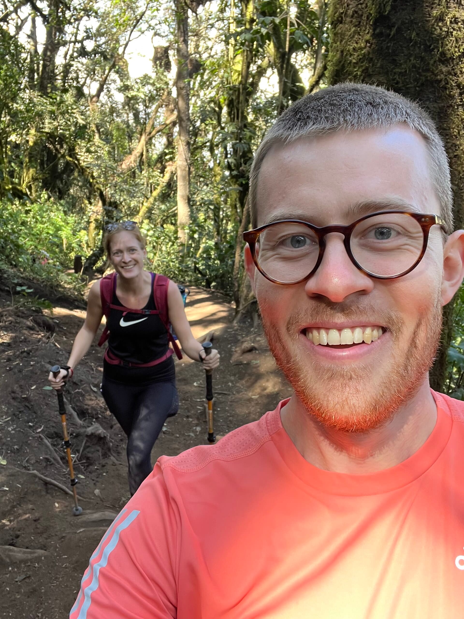
Now our adventure could truly begin. Volcán Acatenango is part of the Sierra Madre mountain range that extends through Mexico, Guatemala, El Salvador, and Honduras. With an altitude of 3,976 meters, the volcano’s summit is the third highest point in Central America.
Right from the start of the trail, we could feel the air getting thinner. At this altitude, there was 26% less oxygen than at sea level. Both of us felt fit, but the initial ascent was tougher than we had anticipated.
The first leg of the route took us past farmland where we could see the remnants of the corn harvest and calla lilies in full bloom. The journey had barely begun, and the view was already magnificent. As we moved higher up the steep side of the volcano, we passed several groups of exhausted hikers on their way down.
We continued walking, taking regular breaks to refill on water in the warm morning sun. From the open fields, we were enveloped by the moist, moss-covered interior of the cloud forest. The ground was made of compact soil covered with a thin layer of volcanic sand, turning the path into a really slippery ordeal. We had to be careful not to lose our footing on the treacherous terrain. Thank goodness for the walking sticks!


Welcome to the base camp
After the challenging terrain of the cloud forest, a much-needed lunch break awaited us. We had reached the halfway point of our route, and the high-alpine forest lay ahead. The lush and dense vegetation gave way to hardy pine trees, growing in scattered patches. Several trunks stood stunted and dead, having lost the battle against the low temperatures and harsh winds.
The height of the pine trees began to decrease, as did the incline. The last stretch of the trail was almost flat, consisting of dark volcanic sand. At an elevation of about 3,600 meters, with an oxygen level 36% lower than at sea level, we reached our base camp.
Volcán de Fuego was just 2.5 kilometers away, greeting us with a deafening roar and a massive cloud of ash. We were then assigned bunks in small cabins clad in sheet metal, meant to protect us against the wind and weather (and potential volcanic eruptions). Those of us who were to continue towards Fuego packed our backpacks with warm clothes and set off on what would be the most challenging part of our trip.

On top of the world
The first part of the trail to Fuego led steadily downhill for about a kilometer, and both of us slipped a couple of times in the loose sand. After a short rest, where we had the chance to empty our shoes, the path went straight up Fuego’s steep side. The vegetation was extremely sparse, and along the way, we passed ash and rock fragments from previous eruptions.
Finally, we reached the top, and it was all worth the effort. We stood just 150 meters from Fuego’s crater with a view that took our breath away. We were above the clouds along with the peaks of six of Guatemala’s volcanoes. The cold crept in, and we began to dress in the many layers of clothing. Even wearing hats, gloves, and thick sweaters, we couldn’t keep out the relentless wind.
The sunset was unlike anything we had ever seen, and we were left feeling tiny. It was hard not to be humbled by the surrounding giants. I have never experienced such an enchanting and surreal view. We were exhausted, overwhelmed, and freezing, but we stood on top of the world.
The return journey was done with headlamps in pitch darkness. Our legs were tired, and the path to the base camp seemed endlessly long. When we got back, we were handed warm towels to wipe the ash off our faces before being served hot cocoa and dinner. Exhausted, we sat in front of the campfire with a view of Fuego and were finally rewarded with a glowing eruption. We saw lava! And it was absolutely fantastic.


The descent
After a freezing night with only four hours of sleep and relentless rain drumming on the tin roof, we were ready to start the descent. We were in the midst of a rain cloud that obscured everything around us. The journey down was challenging, with the moist soil making us skate around. We really had to be careful not to fall and potentially create a domino effect.
Everyone wanted to get down as quickly as possible, so breaks became fewer and shorter. Our legs were tired, and the energy was all but gone. It was a great relief when we finally reached Aldea La Soledad, where we were soon picked up by the bus. Conversations were sparse, and a few dozed off on the way back to Antigua.
We were dropped off at Wicho & Charlie’s, where most went straight for the toilets. The worst dirt was washed off hands and faces, after which we returned the borrowed equipment. The staff rewarded us with ice-cold beers, which we enjoyed in their courtyard before heading to our hotel.
Never has a hot shower felt so good! And never has it been so appreciated to throw ourselves onto the bed to rest our tired legs. We had no intention of moving, and the rest of the day was spent watching movies and eating greasy food. When we went to sleep that night, we were blissfully unaware of how sore our bodies would be the next day.